08 December 1997 -- Stratus Clouds Over the Southern Plains
|
|
|
Interactive dual-image comparison (reflectivity and 10.7 micron IR
|
|
|
Interactive dual-image comparison (reflectivity and 10.7 micron IR
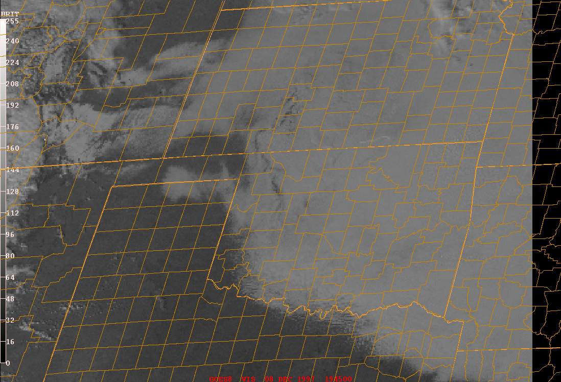
Low-level fog and stratus clouds covered much of the southern Plains region on the morning of 08 December 1997. As this fog/stratus deck began to erode during the day, interesting cloud top eddy features were seen on GOES-8 reflectivity product and 10.7 micron IR imagery (above) over southern Kansas and northern Oklahoma. Most notable is the ring-like feature that developed over extreme southcentral Kansas. On the reflectivity product, the brighter white appearance of the ring feature and the cloud tops farther to the north and east indicates a more reflective, smaller water droplet composition; the 10.7 micron IR imagery shows that the brightness temperatures of these higher reflectivity cloud tops were colder than about -5 C.
The 12:00 rawinsonde profile from Dodge City KS showed a well defined subsidence inversion between 810 and 840 hPa, which likely defined the top of the fog/stratus deck. The 800 hPa ETA model wind streamlines/isotachs (12:00 UTC | 18:00 UTC) revealed a shortwave trough moving slowly eastward across Kansas. Subsidence in the wake of this feature is evident in the 800 hPa streamline/omega (vertical velocity) field (12:00 UTC | 18:00 UTC). This subsidence was acting to erode the stratus deck from the top downward, as the edges of the stratus deck also eroded inward due to heating and mixing of the boundary layer.
GOES-8 visible imagery (below left) showed subtle shadowing and differential illumination of the layered cloud top features. The 6.7 micron water vapor imagery (below right) revealed slight warming in the wake of the Kansas shortwave, which was a result of the mid-tropospheric subsidence and drying behind this feature (note the weak subsidence inversion between 550 and 600 hPa on the Dodge City rawinsonde).

|
|