09-13 September 2003 - Hurricane Isabel

09 September (12:55 - 14:45 UTC)

GOES-12 visible image - Click to enlarge

GOES-12 visible image

(~ 40-image Animation ~)

GOES-12 IR image - Click to enlarge

GOES-12 10.7um IR image

(~ 40-image Animation ~)

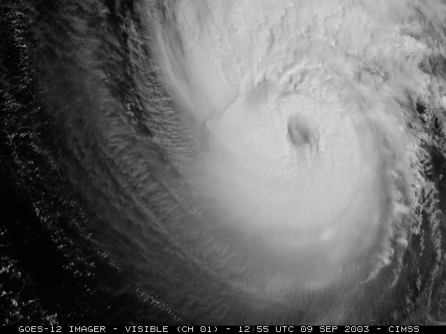
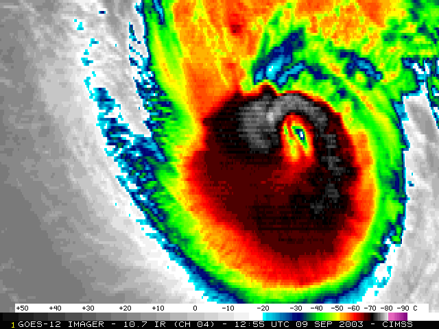
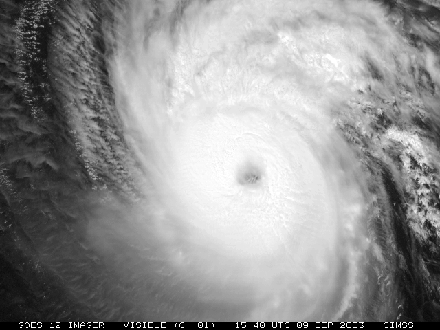
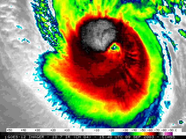
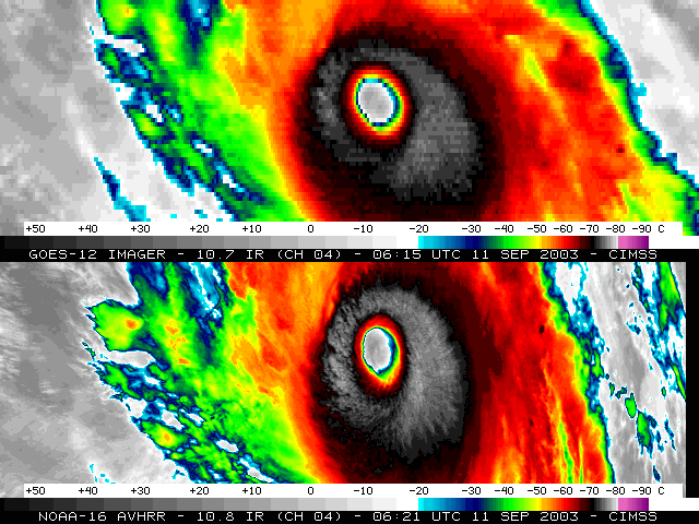
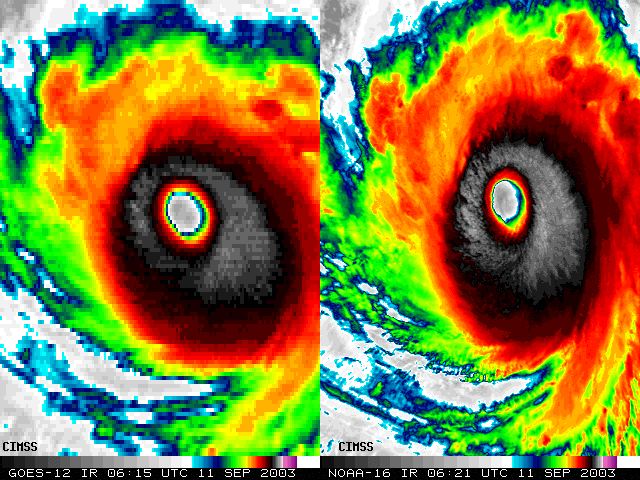
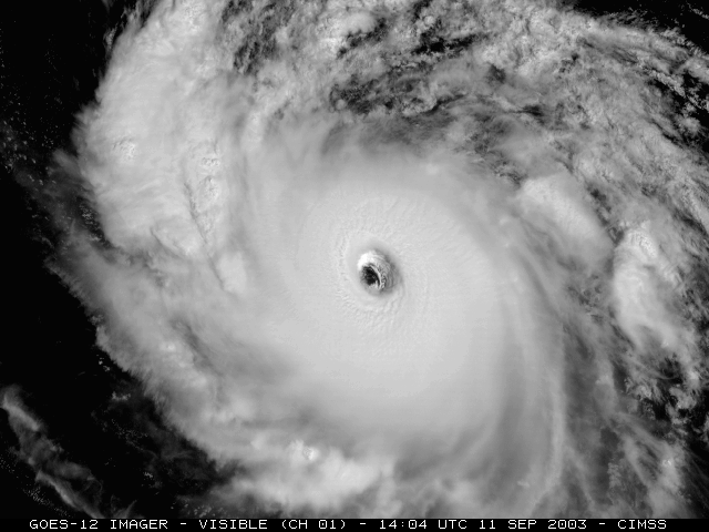
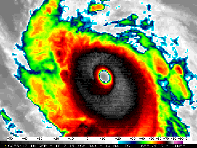
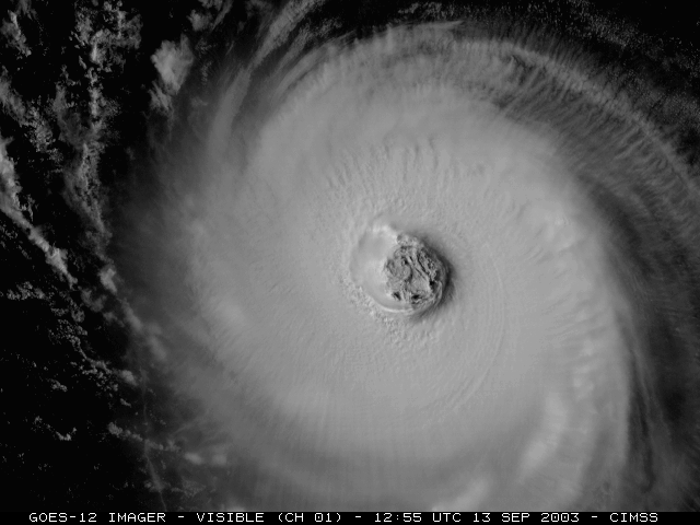
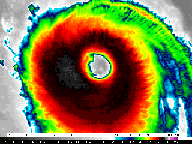
Beginning on 09 September 2003, the NOAA GOES-12 satellite was placed into Super Rapid Scan Operations (SRSO) to monitor the development of Category 4 / Category 5 Hurricane Isabel. Imagery was available at 1-minute intervals during SRSO periods (from 12 to 18 UTC).


09 September (15:40 - 17:39 UTC)

GOES-12 visible image - Click to enlarge

GOES-12 visible image

(~ 40-image Animation ~)

GOES-12 IR image - Click to enlarge

GOES-12 10.7um IR image

(~ 40-image Animation ~)


11 September (06:15 - 06:21 UTC)

GOES-12 / NOAA-16 IR  image - Click to enlarge

GOES-12 / NOAA-16 IR image

GOES-12 / NOAA-16 IR  image - Click to enlarge

GOES-12 / NOAA-16 IR image


11 September (14:04 - 16:15 UTC)

GOES-12 visible image - Click to enlarge

GOES-12 visible image

(~ 40-image Animation ~)

GOES-12 IR image - Click to enlarge

GOES-12 10.7um IR image

(~ 40-image Animation ~)


13 September (12:55 - 14:45 UTC)

GOES-12 visible image - Click to enlarge

GOES-12 visible image

(~ 40-image Animation ~)

GOES-12 IR image - Click to enlarge

GOES-12 IR image

(~ 40-image Animation ~)


Address any questions or comments to the GOES WebMasters

Click here to go Back to the CIMSS GOES Gallery