|
|

 (- Fade between GOES-8 visible, IR, and topography images -)
|
|
|
(- Fade between GOES-8 visible, IR, and topography images -)
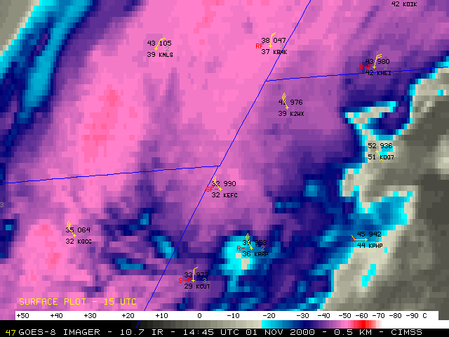
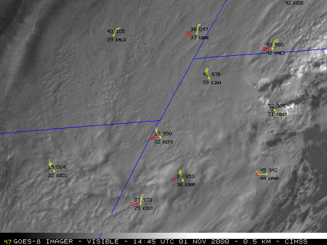
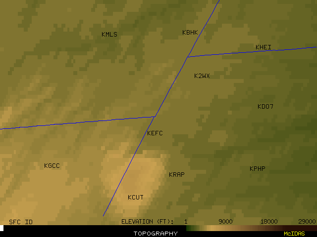
Heavy snow fell across parts of northeastern Wyoming, southeastern Montana, and western South Dakota on 01 November 2000. The heaviest snow accumulations were reported in the northern Black Hills of South Dakota, including 32 inches at Lead and 54 inches at Elk Mountain. NOAA GOES-8 10.7 micrometer InfraRed (IR) imagery (above, left) shows the cooling cloud tops within the developing upper-level deformation zone across the region, indicating deep upward vertical motion to support heavy snowfall. Snowfall was also enhanced by a strong upslope component as increasing north-northwesterly winds interacted with the topography of the northern Black Hills region. Later in the morning, GOES-8 visible imagery (above, right) showed some breaks developing in the lower-level cloudiness near Rapid City (KRAP) and Custer (KCUT), as downsloping flow increased along the southern and southeastern portion of the Black Hills.
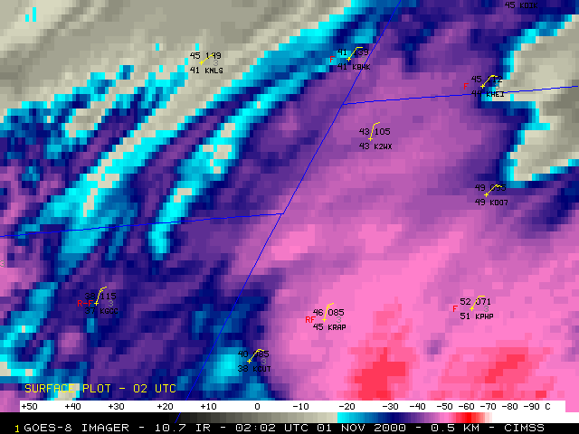
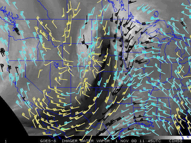
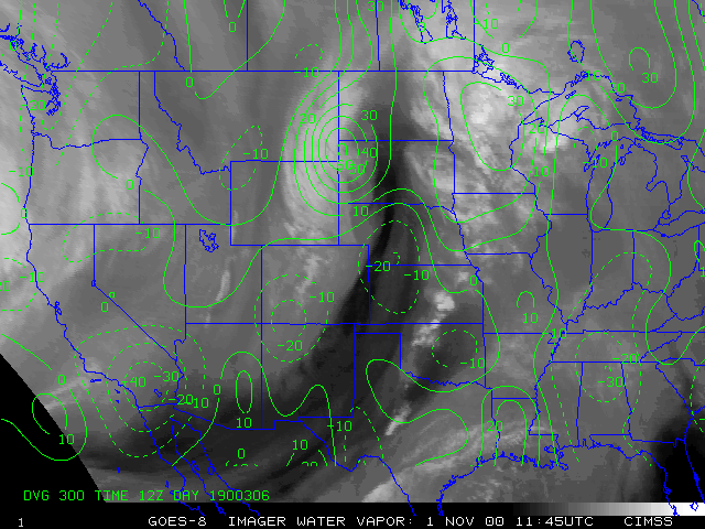
GOES-8 water vapor derived wind fields (below) revealed the impressive upper-level dynamics associated with this storm system. Upper level divergence increased over the Black Hills region after about 05 UTC, and persisted until about 14 UTC when the system began to move northeastward into North Dakota.
|
|
