
|
|
|
|
|
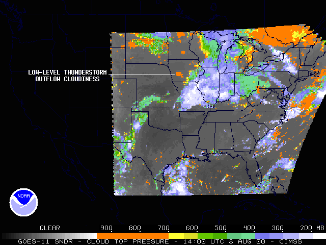
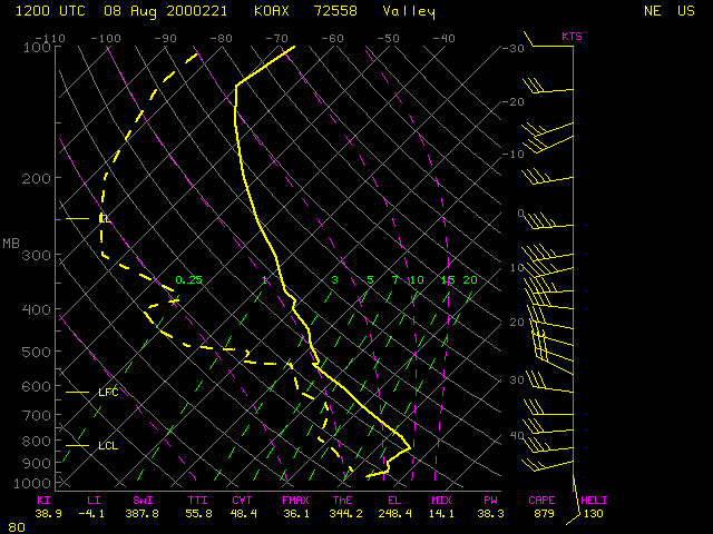
NOAA GOES-11 imager visible (above, left) shows the movement of a plume of low cloudiness across western Iowa on 08 August 2000. This cloud feature was formed by rain-cooled low-level thunderstorm outflow which began to spread northwestward early in the morning over southern Iowa. The morning rawinsonde from Omaha, Nebraska indicated that this cloudiness was strongly capped by a low level temperature inversion. GOES-11 sounder Cloud Top Pressure (CTP) derived product imagery (above, right) shows that the tops of low-level thunderstorm outflow cloudiness across western Iowa were below the 700 millibars level (orange enhancement).
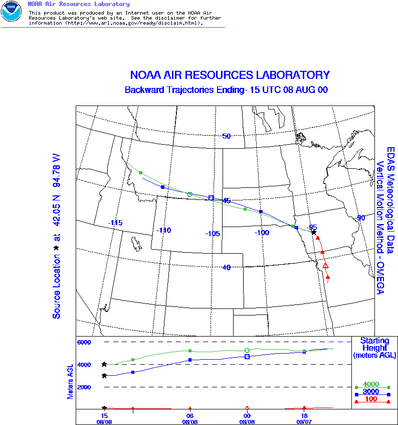
In addition, thick layers of elevated smoke (hazy areas) can be seen moving eastward across much of this region -- this smoke originated from large fires burning over the northern Rockies. 24-hour backward air mass trajectories arriving over Carroll, Iowa (station identifier KCIN) at 15:00 UTC (9 am CDT) confirm the transport path from western Montana at 3-4 km above ground level (trajectories courtesey of the NOAA Air Resources Lab).

