
|
|
|
|
|
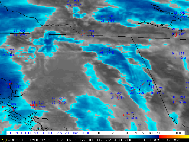
An aircraft encountered moderate to severe turbulence over northeastern British Columbia, Canada around 18:16 UTC on 27 January 2000. The pilot report indicated that the MD11 aircraft was flying at an altitude of 35,000 feet, about 30 nautical miles north of Fort St. John, BC (station identifier CYXJ). NOAA GOES-10 visible, 10.7 micrometer InfraRed (IR), and 6.7 micrometer IR ("water vapor") imagery revealed a train of upper-tropospheric gravity waves which was propagating eastward across the region during that period of time.
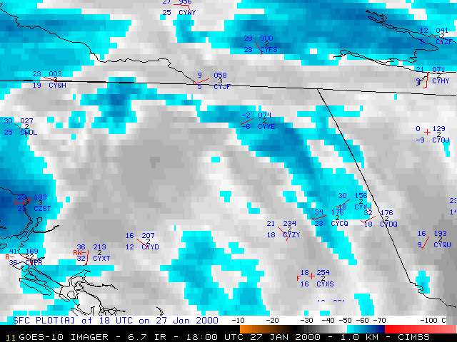
GOES-10 6.7 um IR ("water vapor") image
|
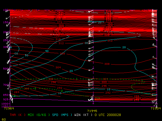
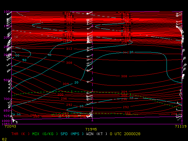
Vertical cross sections (West to East): 12:00 UTC 27 Jan | 00:00 UTC 28 Jan
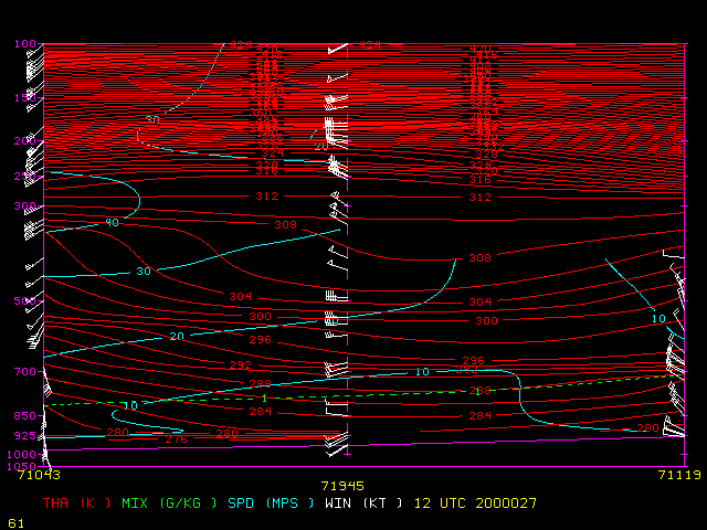
Vertical cross sections (North to South): 12:00 UTC 27 Jan | 00:00 UTC 28 Jan

