GOES-16 Mesoscale Sector visible images: severe thunderstorms in Illinois/Indiana, and Tennessee/Georgia/South Carolina
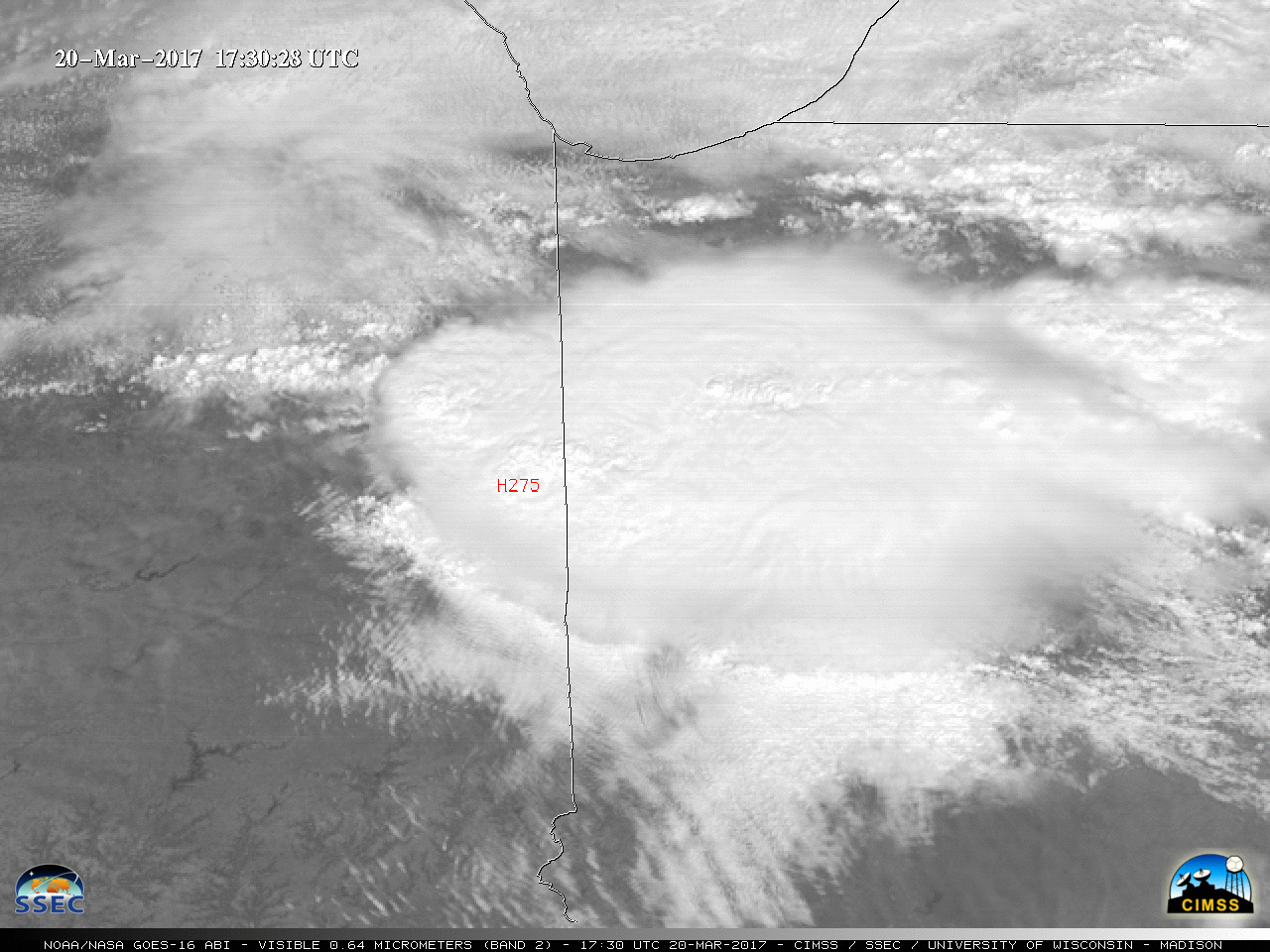
** The GOES-16 data posted on this page are preliminary, non-operational data and are undergoing testing. **1-minute interval 0.5-km resolution GOES-16 Visible (0.64 µm) images (above; also available as a 130 Mbyte animated GIF) showed a cluster of thunderstorms that moved southeastward across Illinois and Indiana, producing a swath of hail as... Read More
