Singapore Airlines Flight SQ836: a loss of engine power due to “ice crystal icing”?
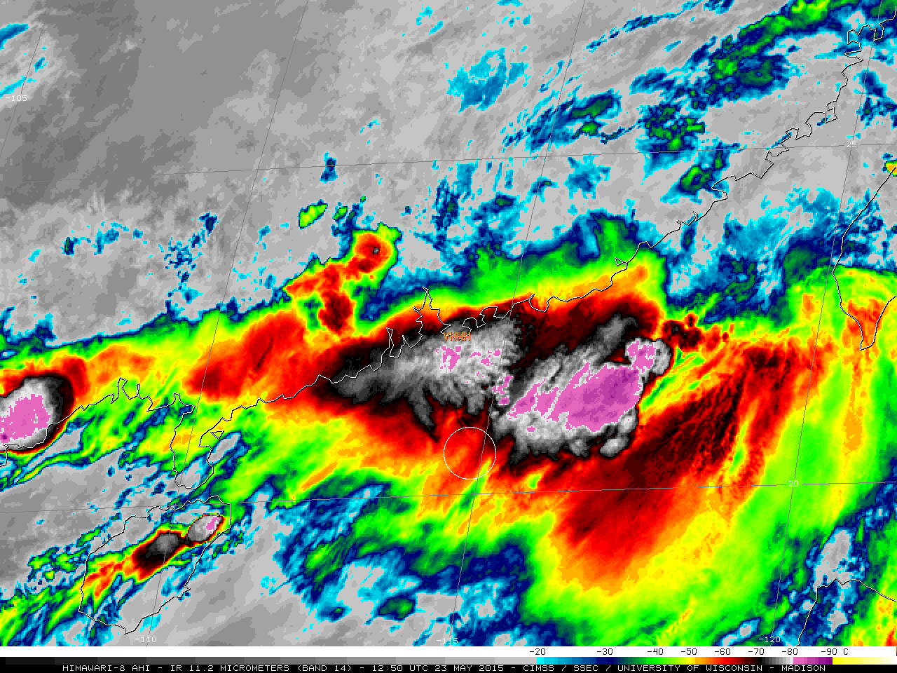
Singapore Airlines Flight SQ836 was en route to Shanghai from Singapore on 23 May 2015 when it lost power from both engines at an altitude of 39,000 feet over the South China Sea, not far south-southeast of Hong Kong (Aviation Herald). The aircraft lost about 13,000 feet in altitude (above) before... Read More


