Solar eclipse shadow in the Southern Hemisphere
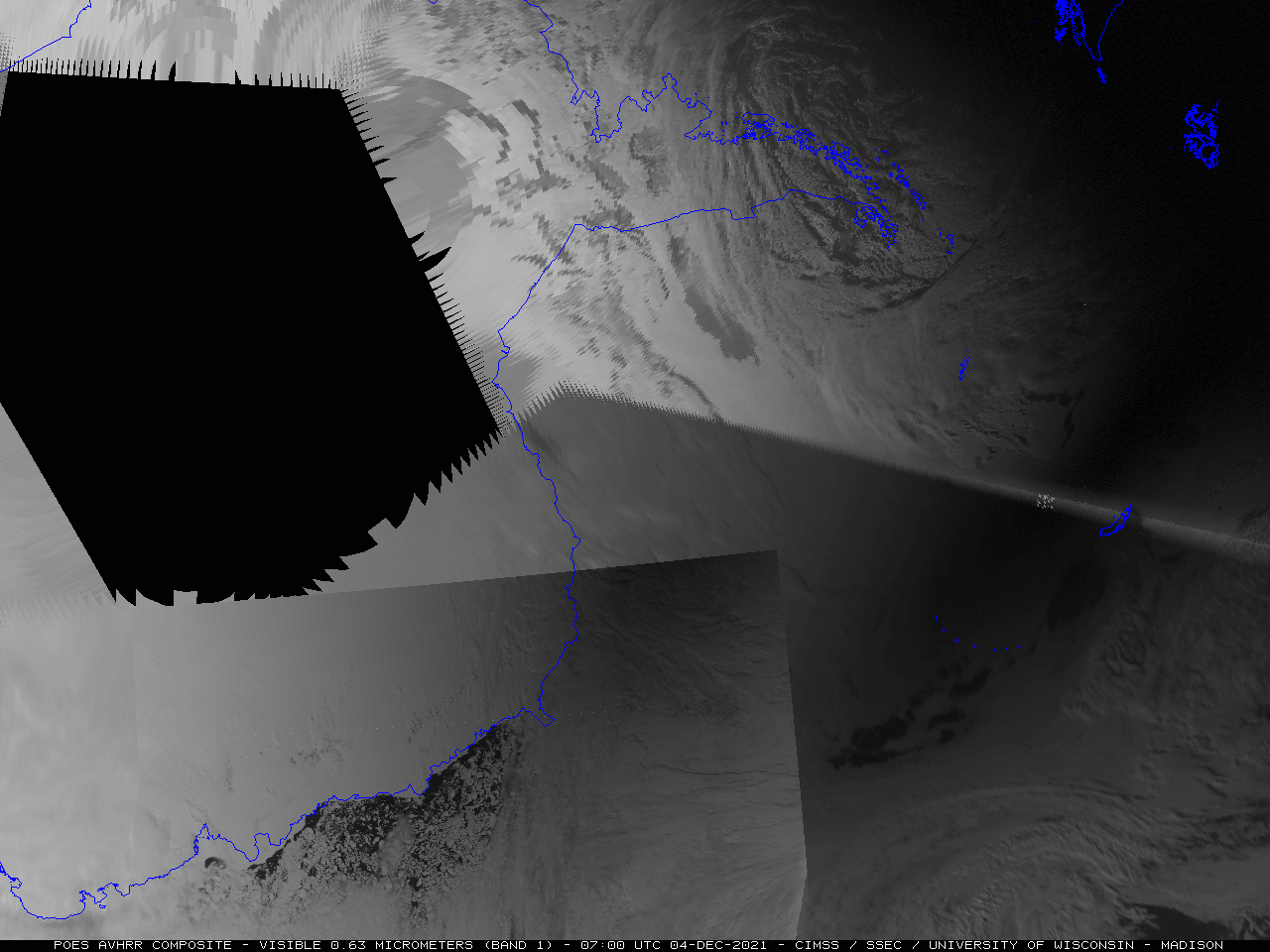
GOES-16 (GOES-East) Near-Infrared “Snow/Ice” (1.61 µm) images (above) showed the shadow of a total solar ecliipse in the Southern Hemisphere on 04 December 2021. Even though the 1.61 µm imagery is at a lower (1 km) spatial resolution, it provided better contrast than higher-resolution (0.5 km) 0.64 µm “Red” Visible imagery, helping to highlight... Read More
