Tropical Storm Akará develops off the southeast coast of Brazil
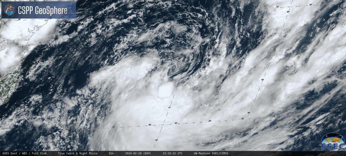
GOES-16 True Color RGB images from the CSPP GeoSphere site (above) showed multiple mesoscale vortices embedded within the exposed Low-Level Circulation Center (LLCC) of a Tropical Depression off the southeast coast of Brazil on 18 February 2024. This disturbance continued to organize and gradually intensify during the day and into the... Read More
