Blowing snow across the Upper Midwest
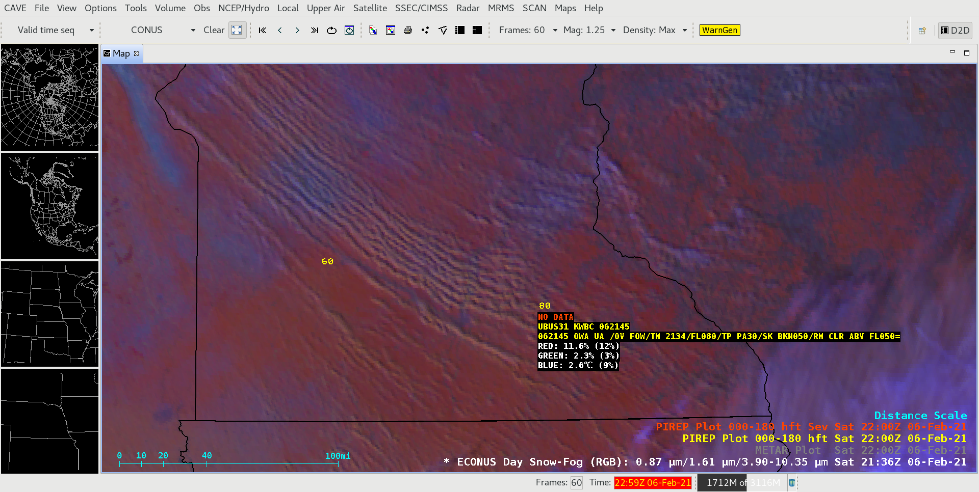
GOES-16 (GOES-East) Day Snow-Fog RGB images (above) showed widespread horizontal convective rolls (HCRs) which highlighted areas where blowing snow was more concentrated across parts of southern Manitoba and the Upper Midwest on 06 February 2021. Snow cover (and glaciated clouds) appeared as shades of red, with bare ground exhibiting lighter shades of green and... Read More