Severe Weather over the Upper Midwest
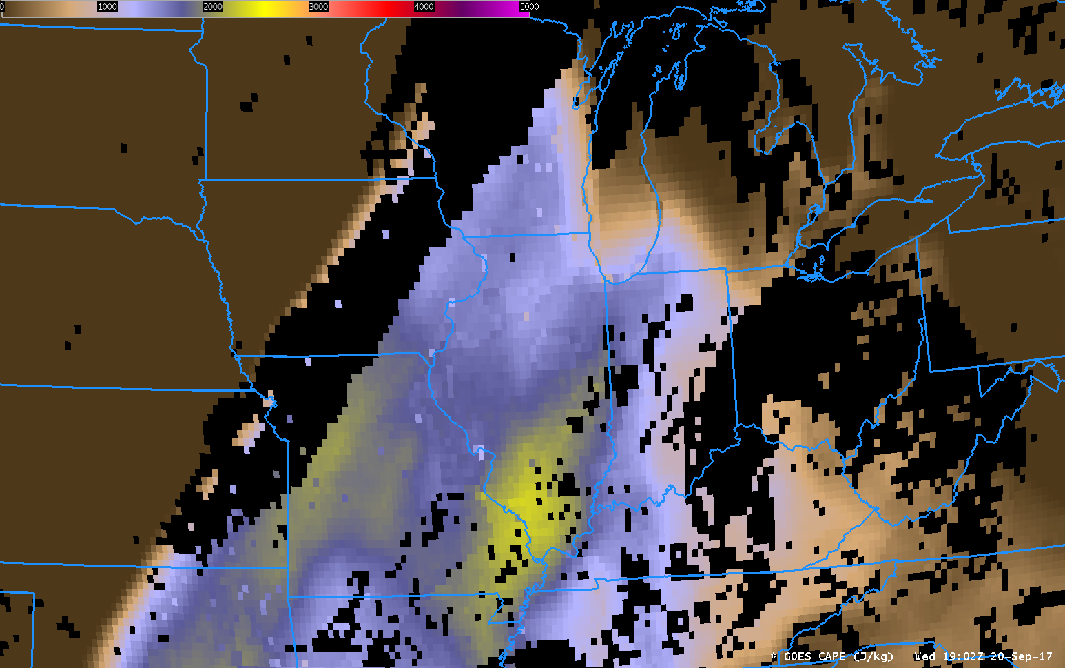
Severe weather occurred over Minnesota and Wisconsin on 2 June 2020, and the storms developed in clear skies. This allowed GOES-16 Derived Stability Indices (a clear-sky product) to provide information on the near-storm environment. The animation above combines GOES-16 Clean Window infrared (10.3 µm) imagery (where clouds exist) with Convective Available Potential Energy (CAPE) estimated from GOES-16... Read More
