Actinae in the North Pacific Ocean
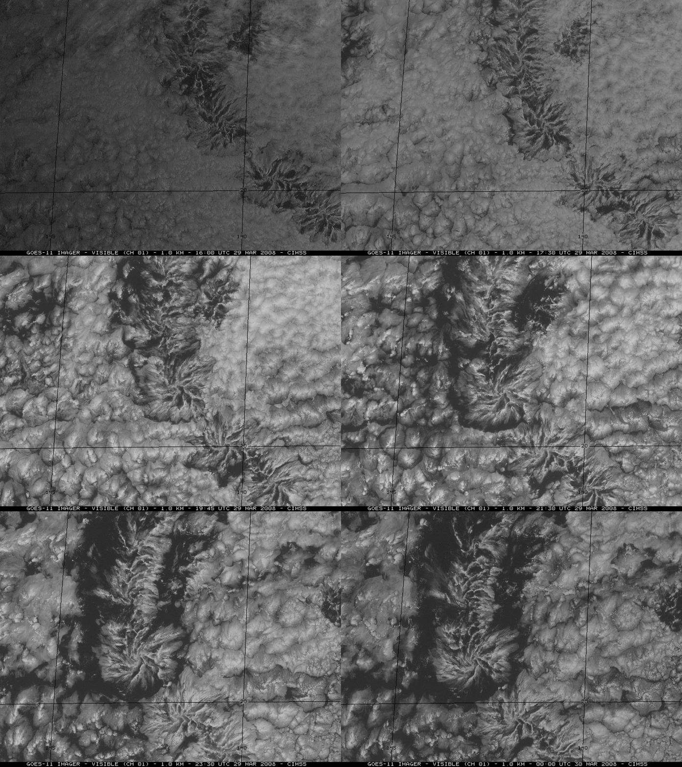
AVHRR false color imagery (above; viewed using Google Earth) and GOES-11 visible channel imagery (below) revealed a family of cyclonic vorticies propagating westward across the eastern North Pacific Ocean on 29 March 2008. The radially-banded cloud features that form such cloud swirls are known as actinae or actinoform clouds, and they are seen occasionally in the marine stratocumulus cloud field over the Pacific Ocean — for example, other similar cases were observed in March 2007 and June 1997. This type of cloud pattern was first observed on TIROS V imagery way back in August 1962 and October 1962.


