Halloween Blizzard of 1991
![GOES-7 Visible (0.65 um) images, 31 October and 01 November 1991 [click to play animation]](https://cimss.ssec.wisc.edu/satellite-blog/wp-content/uploads/sites/5/2009/10/911031-911101_goes7_visible_Halloween_storm_anim.gif)
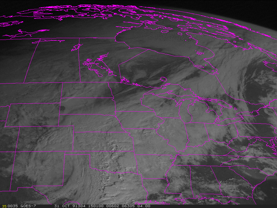
GOES-7 Visible (0.65 um) images, 31 October and 01 November 1991 [click to play animation]
In the visible loop above, notice the rapid melting of snow deposited by the system in the Texas Panhandle, despite record cold (30 and 31 October 1991 are the only October days in Amarillo history when the surface temperature stayed below 30 F all day). Snowcover in South Dakota (the Missouri River stands out) also speaks to the chill in the airmass on the cold side of the storm. A larger-scale visible animation is available here.
Update
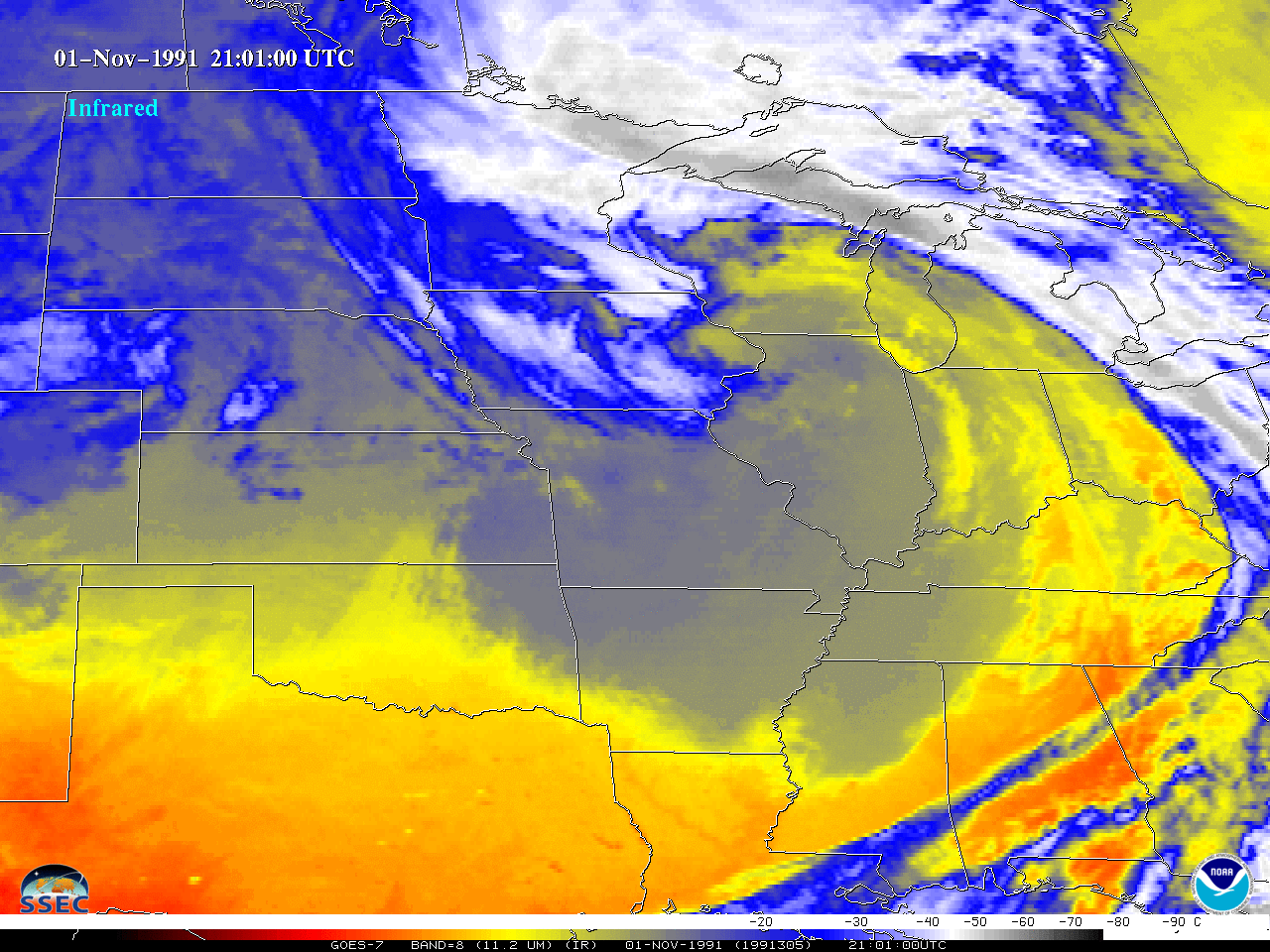
The 1991 “Halloween” storm is the “single storm record for the metropolitan (Twin Cities)” area. A comparison of a GOES-7 Infrared and visible image on November 1, 1991 at 21 UTC.
H/T
These NOAA GOES-7 data was accessed via the University of Wisconsin-Madison SSEC Data Services, using the McIDAS-X software.