Geo2Grid Software Package
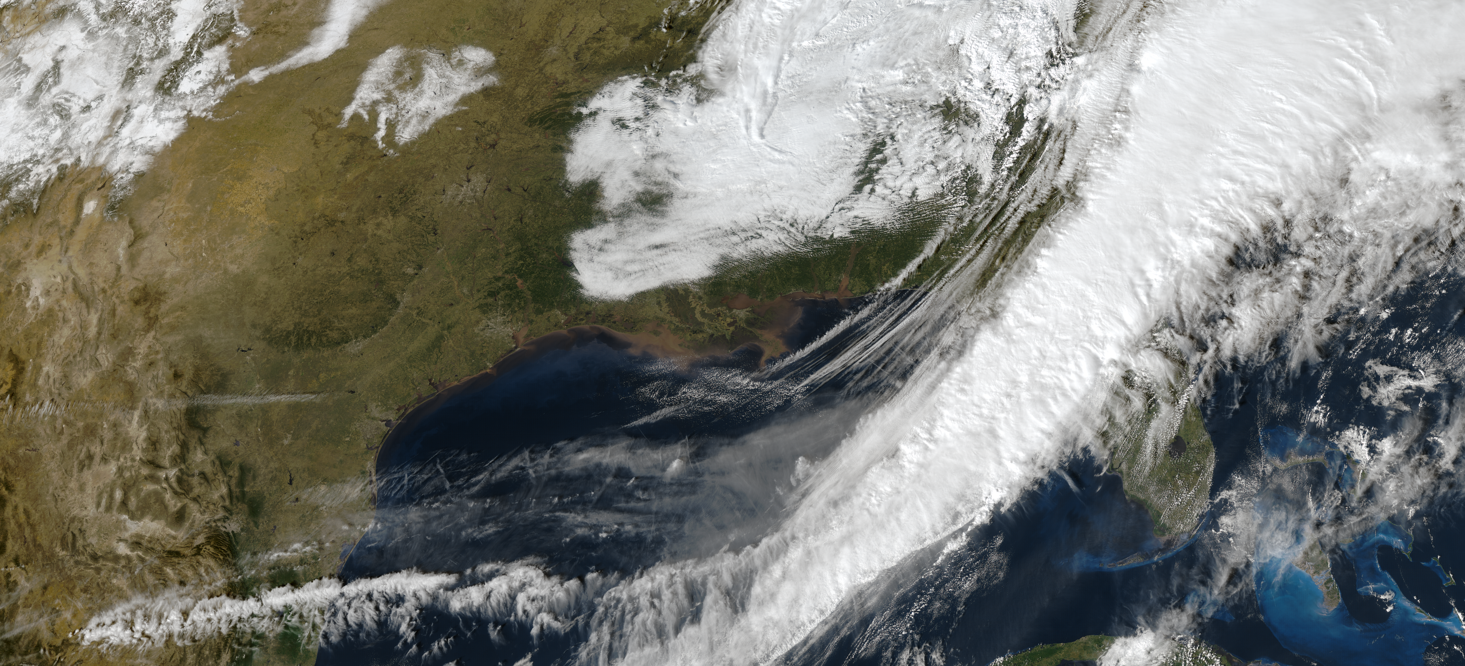
The Geo2Grid software utility provides the capability to create high quality single band, combined Red/Green/Blue (RGB), and satellite product image files in an easy and efficient manner from geostationary imager data files.
Output images are written in GeoTIFF format, which can be displayed in typical image viewers but contains extra georeferencing information that can be used in geo-spatially aware applications.
Images can optionally be reprojected to a pre-defined or user-defined grid.
Supported satellites instruments and products:
- GOES-19, GOES-18, GOES-17 and GOES-16 Advanced Baseline Imager (ABI).
- GOES ABI Cloud Top Temperature, Cloud Top Height, Cloud Top Pressure, Cloud Top Phase, Aersol Optical Depth, Land Surface Temperature and Low Cloud and Fog Products.
- GOES Gridded Geostationary Lightning Mapper (GLM) Products.
- Himawari-8 and Himawari-9 Advanced Himawari Imager (AHI) (both HSD and HimawariCast formats).
- GEO-KOMPSAT Advanced Meteorological Instrument (AMI).
- FY-4A, FY-4B Advanced Geostationary Radiation Imager (AGRI).
- Meteosat Third Generation (MTG) Flexible Combined Imager (FCI).
A suite of single band and RGBs can be created from each instrument. For example:
|
|
|
|---|---|---|
|
|
|
Other important features of Geo2Grid Software
- True and natural color imagery creation includes for each instrument:
- Upsample and sharpen composite bands to the highest spatial resolution (500m).
- Creation of pseudo “green” band for the ABI instruments.
- Reflectance adjustment (dividing by cosine of the solar zenith angle).
- Removal of atmospheric Rayleigh scattering (atmospheric correction).
- All ABI Imager sectors and modes are supported.
- Latitude/longitude subsetting.
- Combined daytime/nighttime RGBs.
- Creation of PNG images, with optional overlay of borders, coastlines, etc.
- Creating animations from the output GeoTIFF and PNG files.
- Thorough documentation, examples, and verification data provided.
Optimized for Maximum Efficiency
Creation of the images is carried out by simple bash shell script commands, which wrap underlying Python code. By default, images of all Imager Bands plus true and false color output image files will be generated, however, users can choose to create one or more band images using optional arguments.
The software uses the number of specified CPU threads to create high quality reprojections in the lowest latency possible thanks to the use of the Dask python library. Dask splits data arrays into multiple “chunks” and processes them in parallel.