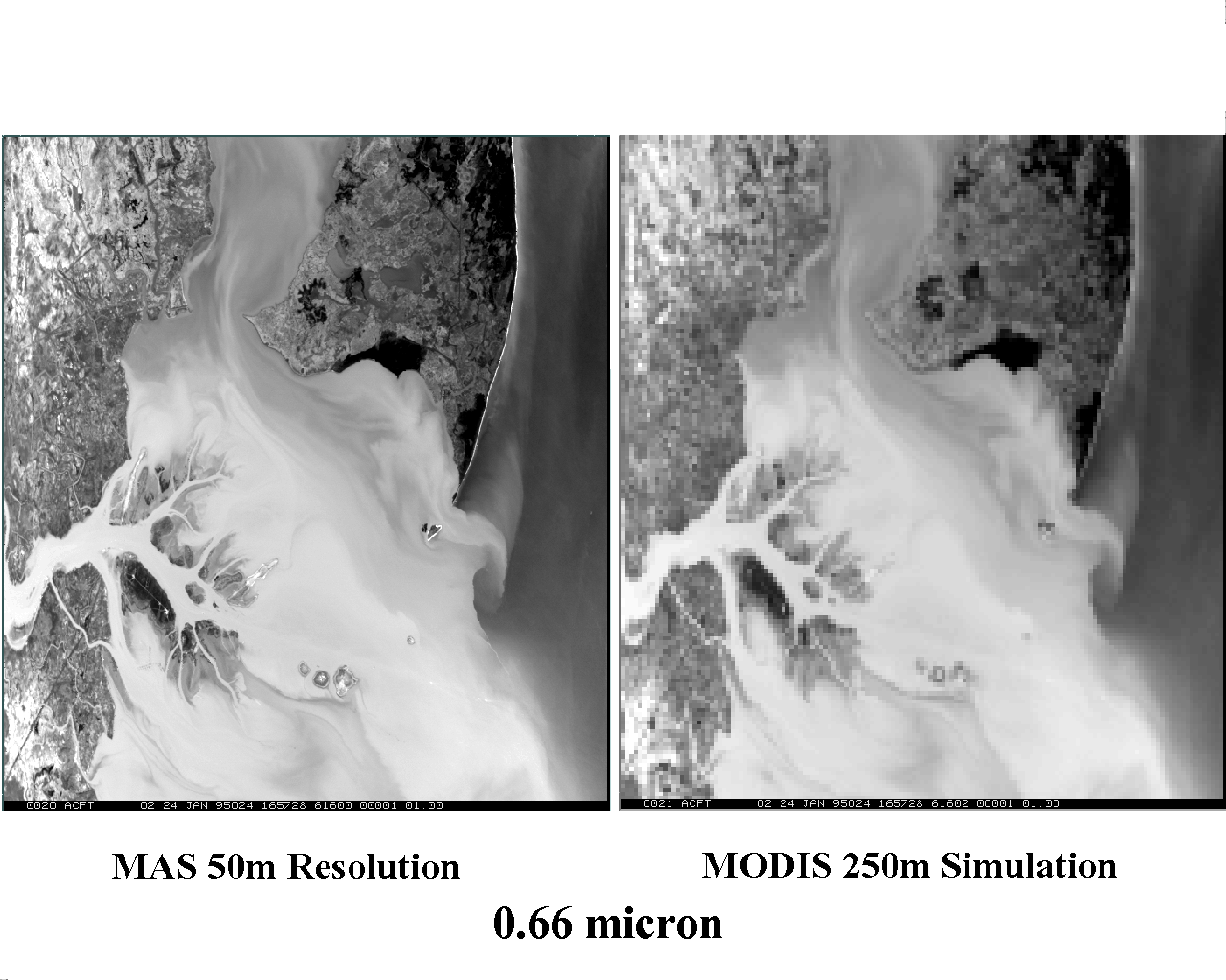
| MODIS 250 meter image simulated from MAS 50 meter data. MODIS flies on NASA's EOS AM-1 satellite (launch scheduled for late 1998) and on the EOS PM-1 satellite (launch scheduled for 2000). On these sun-synchronous polar orbiting satellites, MODIS will collect 250 meter data in two bands (.65 and .86 microns) at the nominal local overpass times of 10:30am (AM-1) and 1:30pm (PM-1), as well as 500 meter and 1 km data in a host of other spectral bands. This data will be applied to studies of coastal regions around the globe. |
Last updated: May 28, 1998