The Chenier Plain is a muddy strip of Louisiana coast
west of Atchafalaya Bay. It is the primary focus of our geomorphology
project. Below you can see some pictures from our field
trip on April 3, 2002 to this unique sedimentary environment.
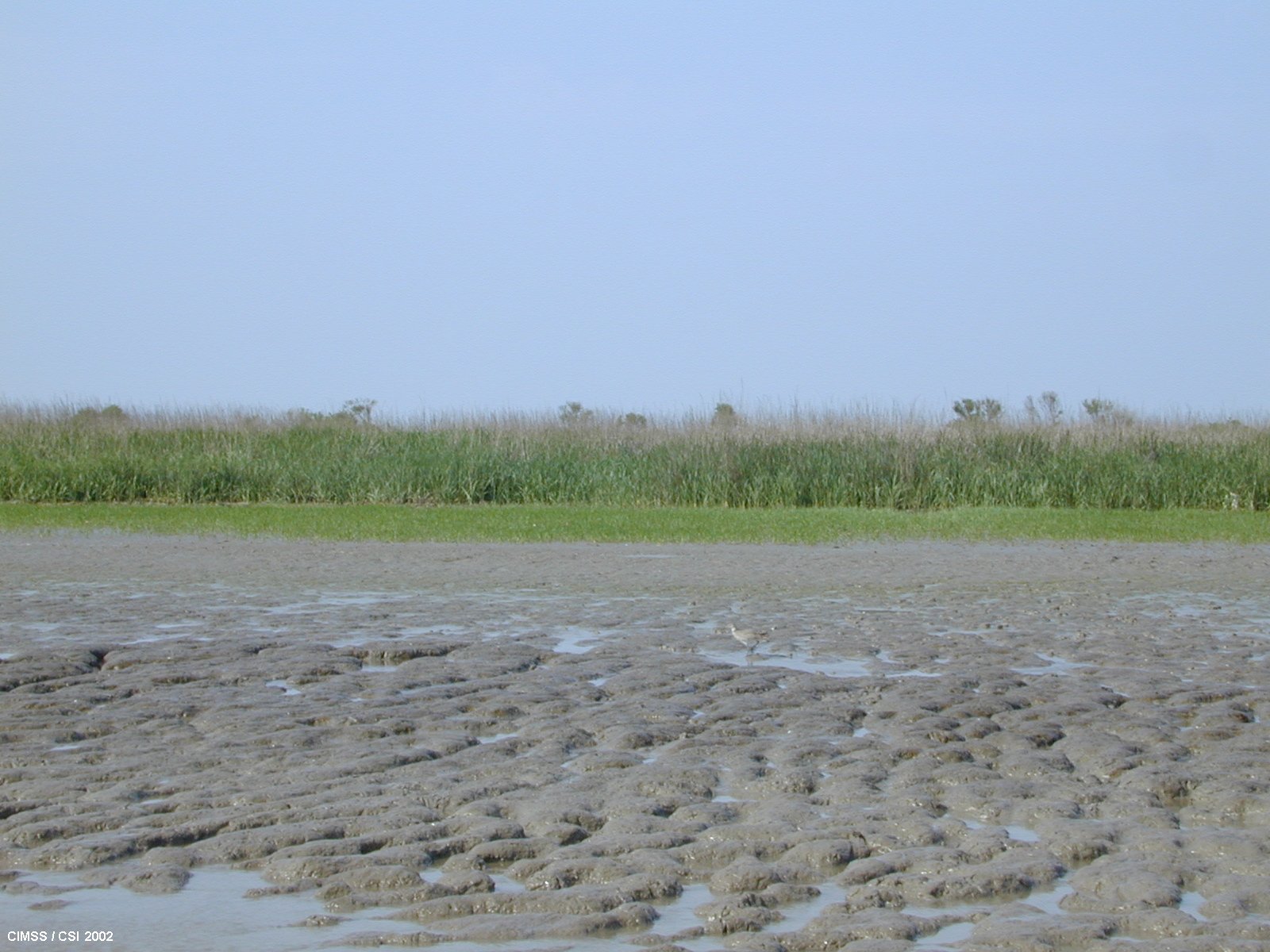
In this picture the muddy plain can be seen with new
marsh grass colonization in front of the old, established vegetation line. This site is west
of Fresh Water Bayou outlet.
Back to Image GalleryNOTICE: The photographs, images, text, graphs, and
other information on these web pages are proprietary information belonging
to The Cooperative Institute for Meteorological Satellite Studies (CIMSS)
at the University of Wisconsin-Madison. If the information
is of use to you, please give proper credit to CIMSS. Thanks!
Got questions or comments about this page?
E-Mail Contact Form