Introduction
The MODIS Airborne Simulator (MAS) is a scanning spectrometer which measures reflected solar and emitted thermal radiation in 50 narrowband channels between 0.55 and 14.2 microns (specifications). MAS produces image data with 50 meter resolution (at nadir) across a 37 kilometer ground swath from a nominal altitude of 20 kilometers onboard a NASA ER-2 aircraft.Data
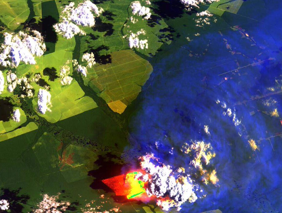
A selection of MAS images can be found in the gallery. If you wish to browse and order MAS data from the complete archive, you can first browse the quicklooks available for every MAS field campaign (e.g. SUCCESS), and then order data from the campaign page (see 'Level-1B HDF Data Distribution'). Software
MAS data are stored in Hierarchical Data Format (HDF). Programs for unpacking MAS data from this format are available in Fortran source code and IDL source code. To visualize MAS HDF files, Freelook can be used for basic image viewing. If you have IDL, SHARP can be used to visualize and analyze MAS HDF imagery and cloudmask data. ENVI will also read and display MAS HDF data. Algorithms
We have developed a cloudmask algorithm for MAS, which has been used as a prototype for the MODIS cloudmask algorithm. The MAS algorithm is currently unsupported, but you are welcome to download the Fortran source and try it. Documents - Airborne Scanning Spectrometer for Remote Sensing of Cloud, Aerosol, WaterVapor, and Surface Properties (PDF).
- MAS Level-1B Data User's Guide (HTML).
|